How We Started Finding Lost Paths
This started with a mistake on a map.
In 2019, while researching medieval trade routes for a completely different project, our founder noticed something odd. A footpath marked on a 1920s Ordnance Survey map appeared to connect two monasteries across the Yorkshire Dales. Modern maps showed nothing there. Just empty moorland.
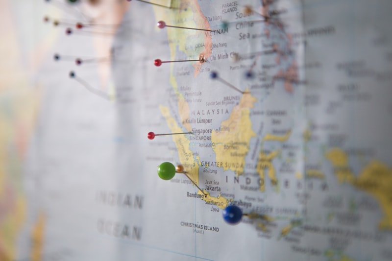
The walk to verify whether the path still existed took six hours. The path itself took thirty minutes to find. Once you knew what to look for, it was obvious. Worn stones. Deliberate grading across a stream. A line of hawthorns planted as waymarkers centuries ago.
That discovery led to another. And another. Within eighteen months, we'd documented over forty routes that existed physically but had vanished from contemporary navigation.
Our Approach
We don't excavate routes. We recognize them.
Most lost paths aren't actually lost. They're simply illegible to modern navigation systems. GPS shows you where you are, not where people used to go. Satellite imagery sees vegetation, not the subtle terrain modifications underneath that guided travelers for generations.
Our work combines three distinct skillsets: historical document analysis, field archaeology techniques, and practical long-distance walking experience. This isn't academic research turned into tourism. It's the reverse. We find things by walking first, then research what we found.
Who Maps the Routes
Our core team consists of four people, though we collaborate with specialists depending on the region and type of route.
Sarah Pemberton trained as a landscape archaeologist before spending a decade leading commercial mountaineering expeditions. She handles route verification and safety assessment.
James Holloway worked in medieval economic history for years before concluding that most interesting historical questions require fieldwork rather than archives. He researches route history and context.
Miriam Chen specializes in geological interpretation and has an unusual ability to read terrain formation. She identifies why particular routes work where they do.
Thomas Blackwell manages logistics, group dynamics, and the practical aspects of turning archival routes into walkable experiences for people who aren't professional hikers.
What We Believe About Walking
Walking isn't exercise. Or rather, it's not primarily exercise. It's a method of attention.
You can drive past a landscape and see it. You can study maps and understand it intellectually. But walking at three miles per hour, over hours and days, produces a different kind of knowledge. You learn what the terrain does to your body. Where water collects. Why certain valleys feel different from others that look identical on a map.
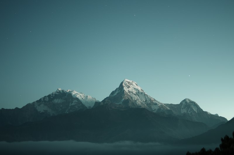
The routes we offer aren't about conquering peaks or achieving distance. They're about developing fluency in reading landscape. About understanding why borders and roads and settlements appeared where they did.
Most commercial hiking feels like landscape consumption. We're aiming for something closer to conversation.
Public Recognition
Our route documentation work has been featured in several historical geography publications, though we're careful to keep precise locations confidential until routes are properly assessed for public access.
We maintain research partnerships with three universities and regularly contribute to archaeological surveys when our walking uncovers previously unrecorded sites.
In 2024, we were asked to consult on a National Trust project restoring historical access routes across the South Downs. That work continues.
Our Commitments
We walk every route multiple times before offering it commercially. This isn't about eliminating risk, which is impossible in genuine outdoor environments. It's about knowing exactly what kind of terrain, weather exposure, and physical demand participants will encounter.
We cap group sizes deliberately. Large groups destroy the experience we're trying to create. More importantly, they damage the routes themselves. These paths survived centuries of light use. Heavy foot traffic would erase them within years.
We donate fifteen percent of our revenue to organizations working on public footpath preservation and access rights. This work depends on legal frameworks that protect historical routes. Those frameworks need funding and political support.